
How to Get to Río Celeste from San José (2026 Guide)
Driving from San José to Río Celeste: 200 km, 4-4.5 hours on Route 1 to Cañas then Route 6 to Bijagua. Exact route, fuel stops, park hours and timing.
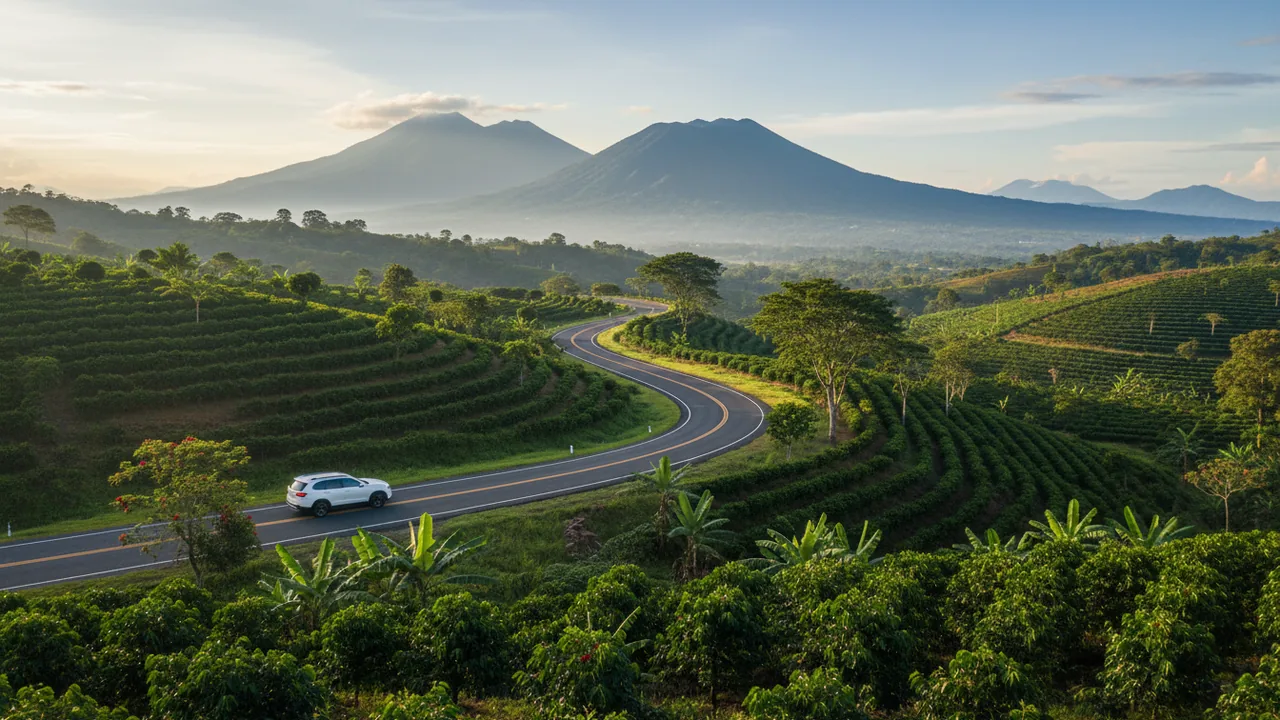
Río Celeste sits at the end of a long, beautiful drive from the Central Valley. The river’s turquoise color, the waterfall, and the rainforest of Tenorio Volcano National Park are about 200 kilometers northwest of San José, and the trip takes most of a morning. The good news: it is almost all paved, it is easy to follow, and you can be floating the blue river or standing at the waterfall the same day if you leave early.
This guide gives you the exact route, realistic driving times, the fuel and parking details nobody mentions, and the alternatives if you would rather not drive at all.
The quick answer
- Distance: about 200 km (124 miles) from downtown San José to the park entrance at El Pilón
- Driving time: 4 to 4.5 hours with one stop; 4 hours if you hit Cañas before 9 a.m.
- Route: Route 1 west to San Ramón and Cañas, then Route 6 northeast through Bijagua, then 8 km of local road to the entrance
- Road condition: paved the entire way; the last 8 km are narrow and winding
- Best departure: 6:00–6:30 a.m. from San José
- 4×4 needed? No in dry season. Helpful in the green season when the shoulder season rains soften the road edges.
The route, leg by leg
Leg 1 — San José to Cañas on Route 1 (about 155 km, 2.5 to 3 hours)
Leave the city on Route 1, the Pan-American Highway, heading west. You will pass Atenas, climb to San Ramón, then descend through Esparza and Barranca before turning north across the Guanacaste plains to Cañas. Traffic is heaviest between San José and San Ramón; after that it moves well.
This is the stretch where you want to be ahead of the trucks. Fuel up before you leave the city or at the stations on the outskirts of San Ramón, and use the restrooms there — the next reliable stop is Cañas. Cell coverage is good the whole way, and Waze or Google Maps handle this route accurately.
Leg 2 — Cañas to Bijagua on Route 6 (about 41 km, 50 minutes)
At Cañas, leave Route 1 and take Route 6 toward Upala. The road is signed and well maintained. You climb out of the Guanacaste lowlands through cattle country, pass the turnoffs for Palmira and Río Naranjo de Bagaces, and enter the green foothills of the Tenorio range.
The landscape changes fast here. Dry forest and open pasture give way to thick, wet rainforest, and the temperature drops several degrees. Bijagua — locally marketed as “el pueblo más lindo de Costa Rica” — is the last real town before the park.
Leg 3 — Bijagua to the park entrance (8 km, 15 to 20 minutes)
In Bijagua, follow the signs to Parque Nacional Volcán Tenorio. The road climbs through farmland and secondary forest, crosses a couple of narrow bridges, and ends at the El Pilón ranger station, where the trail begins. The entrance is small and easy to miss; if you search on your phone, use “Parque Nacional Volcán Tenorio” or “Puesto El Pilón” rather than “Río Celeste”, which sometimes points to a hotel or a tubing operator down the road.
Parking is a fenced lot beside the entrance, paid in cash on arrival. Bring small colones bills. There are bathrooms and a small snack stand, nothing more.
What the drive actually costs
- Fuel: figure one full tank each way for a standard SUV, plus a little extra for the climb
- Parking at the park: a few thousand colones, cash only
- Park entry: US$13.56 per adult non-resident, bought online in advance through SINAC — there are no ticket sales at the gate
- Tolls: none on Route 1 to Cañas
Two practical warnings from people who do this drive weekly. First, do not plan on arriving in the afternoon: park entry closes at 2:00 p.m. and the gates shut at 4:00 p.m., so a 9 a.m. departure from San José means you will be turned away. Second, if it has rained hard for two days, check with your hotel or tour operator before leaving — the road between Bijagua and the park can flood at the low bridges.
Renting a car for this drive
A compact SUV is the right choice: ground clearance for the last stretch, room for wet gear, and better visibility on the winding climbs. Book before you land, confirm that the mandatory Costa Rican liability insurance is included in the quoted price, and take photos of the car at pickup. Our guide to renting a car in Costa Rica covers the insurance traps and the deposit holds in detail.
Doing it without a car
Shared shuttle or private transfer
Shared shuttles connect San José, La Fortuna, and Liberia with Bijagua and the Río Celeste area, usually with hotel pickup. They are comfortable and simple, but they run on fixed schedules, so you need to book at least 48 hours ahead and accept the departure time you are given. Private transfers cost considerably more but let you stop for photos and arrive at opening time.
Public bus
It can be done, but it eats a full day. Buses run from San José to Cañas or Bagaces, and separate local buses connect those towns with Bijagua on a limited schedule. From Bijagua you still need a taxi for the final 8 km to the entrance, and taxis are not always waiting. If you are traveling on a tight budget and have two nights to spare, this works. If you have one day, it does not.
The version that removes the driving entirely
If the point of the trip is the blue water rather than the road trip, the smartest option is to book a guided day that starts near the park and includes everything. Our Hiking + Tubing + Lunch package covers the waterfall trail inside the park, a two-hour float on the blue river with a certified bilingual guide, all the gear, and a traditional Costa Rican lunch afterwards. It is the best value on our tour page for anyone who has already spent the morning driving.
If you only want the park, we also sell the Tenorio Volcano National Park ticket as a digital entry so you are not stuck on a sold-out SINAC date, and the Río Celeste tubing tour on its own if you want the river without the hike.
Timing the day so it works
A realistic schedule from San José:
- 05:45 — leave San José
- 08:30 — breakfast and fuel in Cañas
- 10:15 — arrive in Bijagua
- 10:45 — enter the park; hike the waterfall, the Blue Lagoon, and Los Teñideros
- 13:45 — back at the entrance, lunch in Bijagua
- 15:00 — tubing or a sloth walk, or start the drive back
- 19:30 — San José
It is a long day. Many travelers prefer to sleep in Bijagua or La Fortuna and split the drive, which is also the better plan in the green season when afternoon rain slows the mountain roads. If La Fortuna is your base instead, our guide from La Fortuna covers that shorter route.
What to pack for the park
- Closed shoes with grip — the trail is muddy even in the dry season
- A light rain jacket, not an umbrella
- Insect repellent and a quick-dry shirt
- Water and a snack; there is no restaurant inside
- A dry bag or plastic bag for phones and cameras near the waterfall steps
- Your passport or a photo of it, plus the SINAC QR code on your phone
Frequently asked questions
Can I visit Río Celeste as a day trip from San José?
Yes, but it means roughly nine hours in the car. Leave by 6 a.m., hike in the late morning, and be back in the city by early evening. Staying one night in Bijagua is far more relaxed.
Is the road from San José to Río Celeste paved?
All of it. Route 1 and Route 6 are paved highways, and the 8 km from Bijagua to the El Pilón entrance are paved but narrow, with tight curves and a few one-lane bridges.
Do I need a 4×4?
Not in the dry season. In September and October, or after heavy rain, a vehicle with higher clearance is worth the extra cost, mostly for the road edges and the parking area.
Can I buy park tickets at the entrance?
No. Tenorio sells entry online only, through the SINAC platform, with a daily visitor cap. If your date is sold out, our digital park ticket is the way around it.
How long does the hike take?
About three hours for the main trail: roughly 6.5 km round trip to Los Teñideros, with stops at the waterfall, the Blue Lagoon, and the bubbling thermal vents. See our Tenorio hike guide for the full breakdown.
Book your Río Celeste day
You have done the hard part — the drive is planned. Now lock in the good part: a guide who knows where the light hits the water, gear that fits, and a lunch waiting when you come off the trail. Reserve the Hiking + Tubing + Lunch tour and let the blue river do the rest.
Keep reading

What to Bring to Rio Celeste: Complete Packing List
Trail shoes with grip, a rain shell, a refillable bottle and insect repellent. The Rio Celeste packing list we give gues…
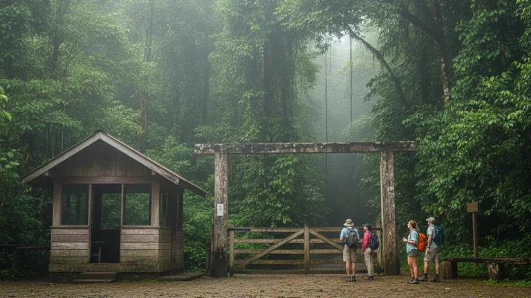
Tenorio Volcano Park Tickets & Hours 2026 (Río Celeste)
Tenorio Volcano National Park in 2026: US$13.56 adult entry, online-only tickets, 8 a.m. to 2 p.m. entry, 4 p.m. close.…

Río Celeste with Kids: What Works and What to Skip
Stairs, mud and no swimming inside the park: what Río Celeste is really like with children, which tour fits each age, an…